 DEVELOPMENT
 Fire Behavior & 3D Structural Analysis
3D Interior Mapping: Real-time rendering of building interiors (as seen in the 3D grid photos) to visualize smoke and heat propagation.
Structural Integrity Assessment: Monitoring the physical stability of multi-story buildings during active fires to identify collapse risks.
Thermal Layer Analysis: Identifying the hottest zones and potential "backdraft" areas to protect rescue teams.
By simulating the fire's path in 3D, commanders can make split-second decisions on where to enter and when to evacuate.
DEVELOPMENT Tactical Dispatch & Field Coordination
Active Unit Tracking: Real-time GPS/Telemetry overlay for fire engines, ambulances, and specialized rescue units (as shown in the tactical map interface).
Route Optimization: Calculating the fastest path for reinforcements, bypassing city-scale obstacles and traffic.
Incident Lifecycle Logging: Automated timeline of events, from the initial alarm to "fire out" status, for post-incident reporting.
This centralized view allows for seamless coordination between different emergency services, ensuring no gaps in the response chain.
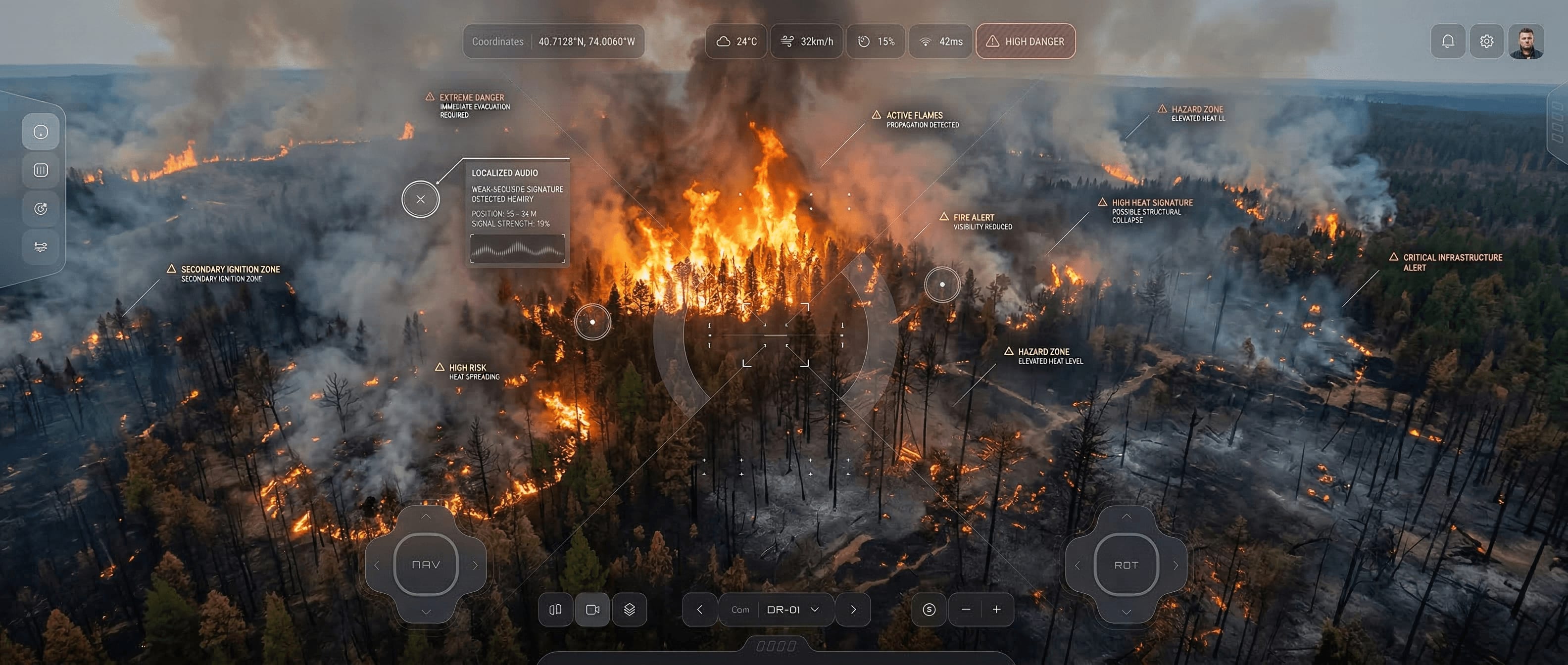
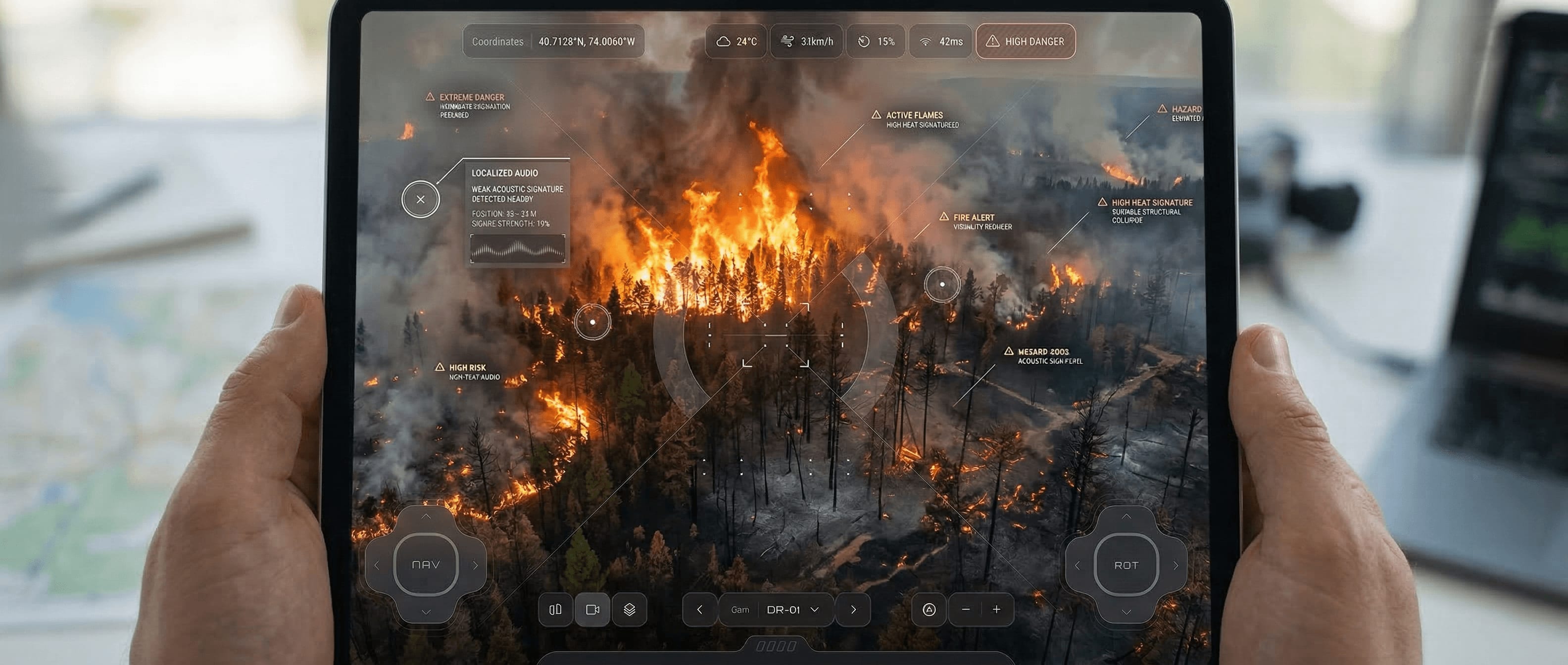
DEVELOPMENT Search & Rescue (SAR) Thermal Intelligence
Thermal Signatures Detection: Integrating AI-enhanced thermal feeds to locate individuals trapped in zero-visibility environments.
Aerial Reconnaissance: Remote-piloted drone streams providing a "bird's-eye view" of roof integrity and ventilation points.
Survivor Vitals Monitoring: Remote sensing of biological signatures to prioritize extraction of the most vulnerable victims.
Turning sensor data into clear tactical insights significantly increases the success rate of search and rescue operations in hostile conditions.