
 DEVELOPMENT
 Density Matrix & Traffic Orchestration
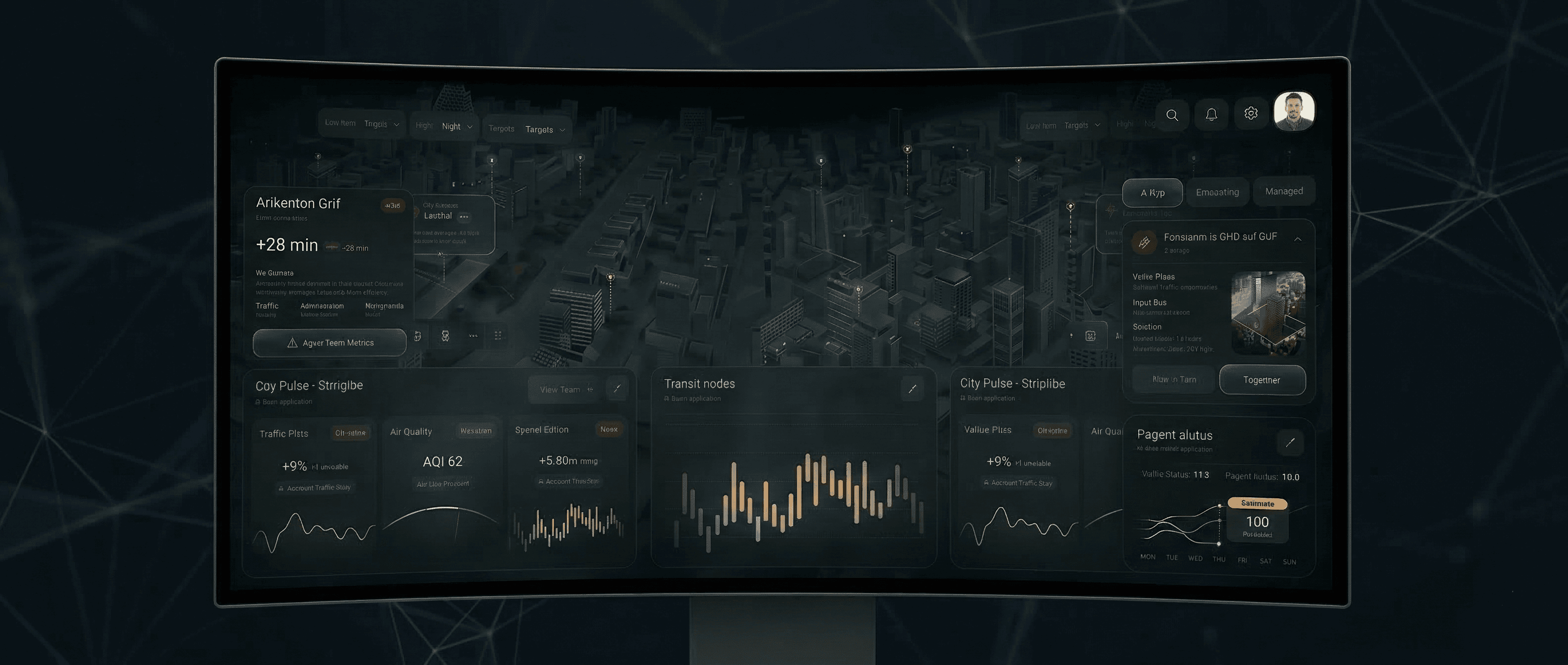
Active Congestion Zones: Dynamic identification of traffic bottlenecks using live sensor data and predictive AI.
Emergency Response Sync: Automated traffic light preemption for emergency vehicles, reducing response times by optimizing fleet routes through the "Density Matrix."
Fleet Utilization: Real-time monitoring of municipal and service vehicle efficiency across the city grid.
By analyzing density patterns, the system prevents gridlock before it starts, ensuring smooth mobility even during peak hours.
DEVELOPMENT Infrastructure Digital Twin
3D Digital Twin: A high-fidelity virtual replica of the city’s physical assets, allowing for real-time visualization of structural status.
Infrastructure Health Score: AI-driven assessment of bridges, tunnels, and buildings to predict maintenance needs.
Energy Grid Balance: Monitoring power consumption patterns to optimize distribution and prevent localized blackouts.
This "living" map of the city allows planners to simulate the impact of new developments or environmental changes before they occur.
DEVELOPMENT Public Transit & Mobility Sync
Subway & Bus Load Balancing: Real-time tracking of passenger volume to dynamically adjust vehicle frequency and prevent overcrowding.
Intermodal Efficiency: Synchronizing different modes of transport (rail, bus, micro-mobility) to ensure seamless transfers for citizens.
Predictive Arrival Analytics: Highly accurate arrival forecasts based on current city-wide traffic conditions and transit health.
Urban Pilot OS turns public transportation into a reliable, clockwork system that adapts to the real-time needs of the population.